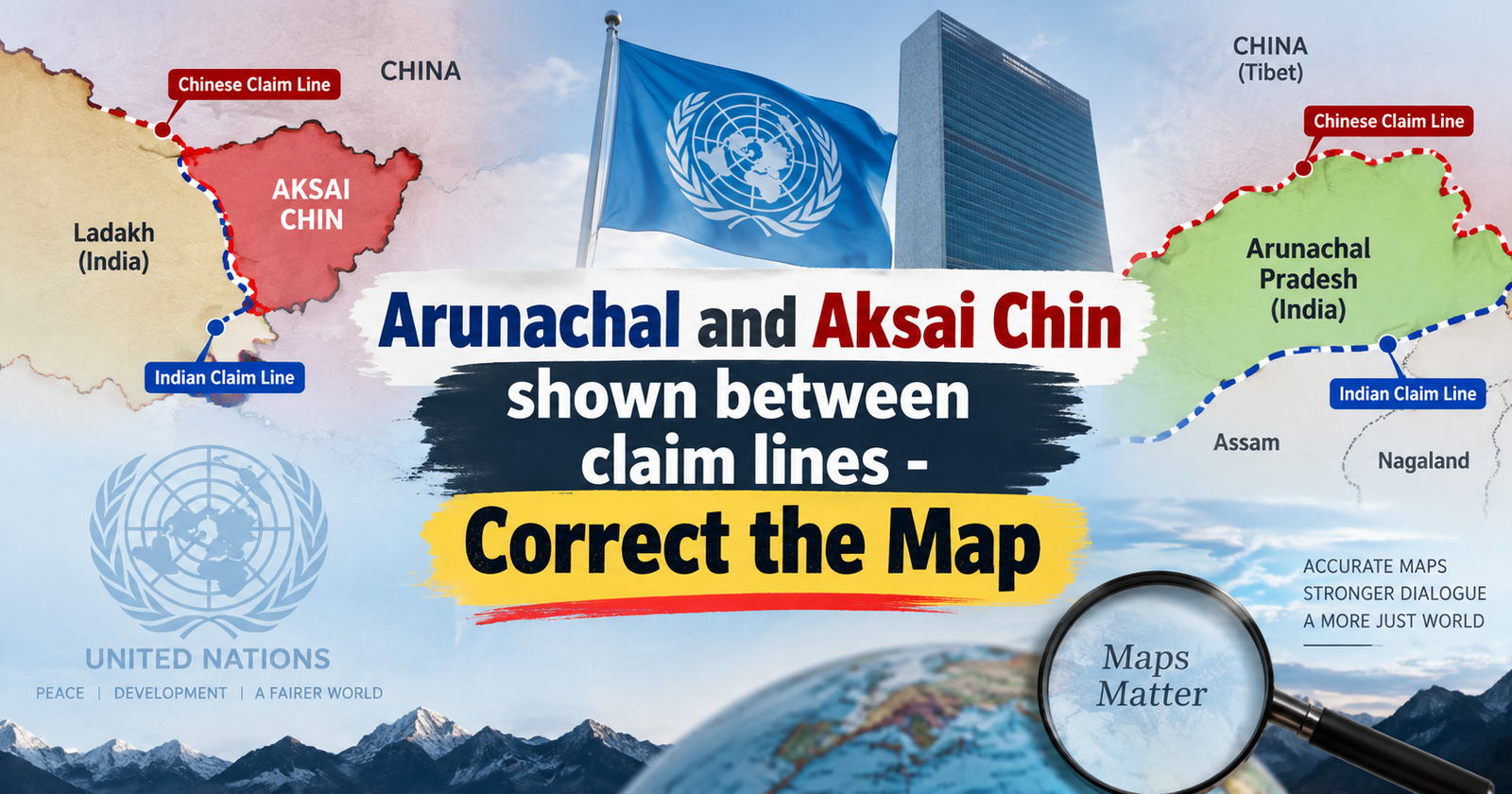
A UN-endorsed map depicting Arunachal Pradesh and Aksai Chin between Indian and Chinese claim lines has raised concerns over territorial representation, sovereignty and disputed boundaries.
Syllabus Areas:
GS I - Geography, History | GS II - International Relations
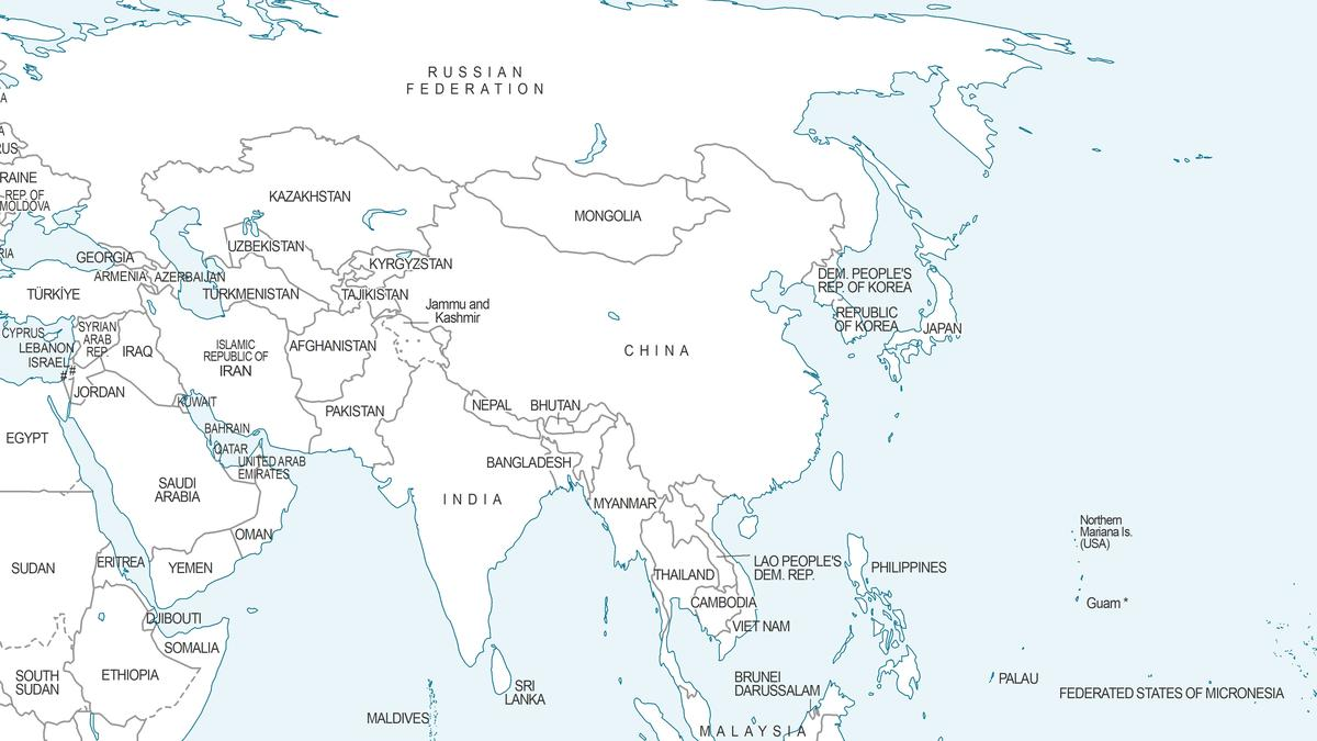
A recent UN-endorsed world map has drawn attention in India by depicting Arunachal Pradesh and Aksai Chin between Indian and Chinese claim lines. The development has renewed debate over territorial representation, sovereignty, cartographic practices, and India’s official position on its borders.
-
Arunachal Pradesh: Map shows parts of its borders as “Indian” and “Chinese” lines; Nagaland’s border is omitted.
-
Aksai Chin: Eastern border appears as the “Indian line”, while the western border appears as the “Chinese line.”
-
These lines continue earlier UN map practices, but are not explicitly called “claim lines” as in 2011.
-
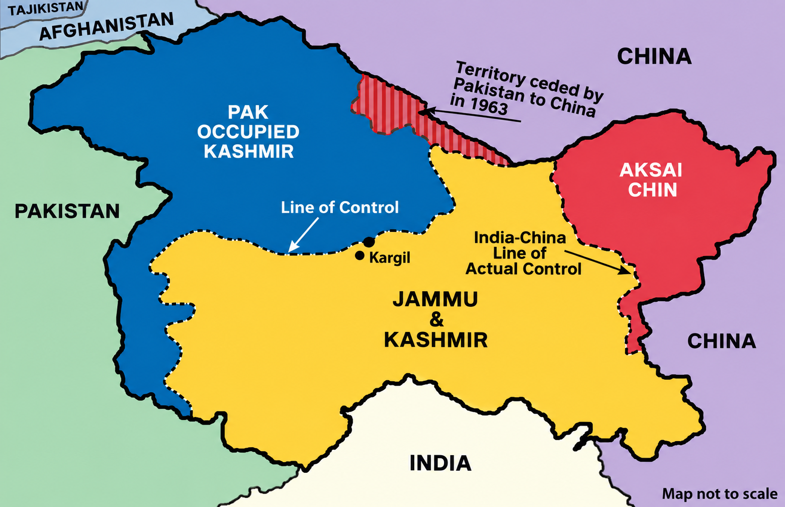
J&K: Dotted line represents the LoC, approximately agreed by India and Pakistan; final status remains unresolved.
-
The non-binding map may be used by multilateral institutions worldwide.
Aksai Chin: Location & Issue
-
Location: High-altitude, largely uninhabited region in the western India–China border sector, east of Ladakh and west of Tibet/Xinjiang, near the Karakoram Range.
-
India claims Aksai Chin as integral to Ladakh/India.
-
China claims sovereignty and controls the territory.
-
Strategic importance is that it provides China with a road link between Xinjiang and Tibet.
-
1962 War: China consolidated control during the Sino-Indian War.
-
Current Position: China administers it; India continues its territorial claim.
-
Line of Actual Control: Associated with the western-sector boundary but not a mutually agreed international boundary.
Arunachal Pradesh: Location & Issue
-
Arunachal Pradesh is a State in northeastern India, bordering Bhutan to the west, China (Tibet) to the north, and Myanmar to the east. To the south, it borders Assam and Nagaland and in the eastern Himalayan region.
-
India considers Arunachal Pradesh an integral part of India and administers it as a State.
-
China claims it as Southern Tibet (Zangnan).
-
McMahon Line agreed between British India and Tibet at the 1914 Simla Convention. China does not recognize this boundary.
-
1962 War: Chinese forces entered, then withdrew. Tawang is a major disputed area.
-
LAC Remains disputed.
Jammu & Kashmir: LoC Depiction on the UN Map
-
LoC: The map depicts Jammu & Kashmir with a dotted line representing the Line of Control (LoC) between India and Pakistan.
-
Agreed Line: The map states that the dotted line represents approximately the LoC agreed upon by India and Pakistan.
-
Final Status: It clearly notes that the final status of Jammu & Kashmir has not yet been agreed upon by the parties.
-
Significance: Thus, the map distinguishes between the existing LoC and the final territorial status of J&K.
“Correct the Map” – What, Who & Why?
-
“Correct the Map” is a UN initiative to promote fairer and more accurate world-map representations.
-
Togo, representing the African Group, initiated the proposal with strong support from the African Union (AU).
-
It aims to correct size distortions in traditional map projections, particularly the Mercator projection, which makes areas near the poles appear larger than they actually are.
-
It supports equal-area projections, such as the Equal Earth projection, which better represent the relative size of continents.
-
India supporting accurate projections does not imply acceptance of disputed territorial boundaries.