Aravallis
Syllabus Areas:
GS I - Geography
GS III - Environment
The recent Supreme Court judgment accepting a height-based definition of the Aravallis proposed by the Union Environment Ministry—has triggered intense debate among environmentalists, planners, and policy observers in Delhi–NCR. According to this definition, only landforms rising at least 100 metres above the local ground level will qualify as Aravalli hills, albeit solely for regulating mining activities. While this may appear like a technical shift, its potential consequences for environmental conservation and land-use regulation in Delhi–NCR are profound.
How Aravallis Are Defined Today
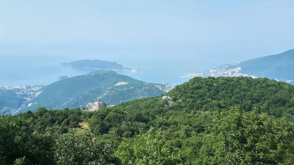
- The Aravalli range extends from Gujarat to Delhi, forming one of the oldest fold mountains on the planet. In Haryana, the Aravallis span seven southern districts, covering nearly one lakh hectares, which is a fraction of Rajasthan’s expanse of nearly 40 lakh hectares.
- Today, regulatory control over the Aravallis in Haryana and Rajasthan comes
primarily from the 1992 Aravalli Notification, which restricts
activities in areas classified in revenue records as:
- Gair mumkin pahar (uncultivable hills)
- Rada (rocky/sandy foothills)
- Rundh
- Behar
- These terms are not arbitrary; they represent natural landforms that have historically been recognised as part of the Aravalli ecology.
- Additionally, the National Capital Region Planning Board (NCRPB), through its Regional Plan 2021, designated the Aravalli areas under the Natural Conservation Zone (NCZ)—a zoning category that restricts construction and protects sensitive landscapes.
- Delhi, in line with Supreme Court directions, uses the morphological ridge definition to identify the Aravallis—an approach grounded in terrain form, not height.
Why the Height-Based Definition Alters the Landscape — Literally and Legally
The Union Environment Ministry’s proposal to define Aravallis as hills rising at least 100 metres above the surrounding terrain significantly alters the way these landforms are understood and regulated.
This raises fundamental concerns:
- Ecological Disconnect
- The logic of protecting the Aravallis has always been rooted in their ecosystem services—groundwater recharge, carbon sequestration, biodiversity conservation—not their geomorphology alone.
- A height threshold is a poor ecological indicator.
- Under such a definition, any land that does not meet the threshold—regardless of its vegetation, wildlife importance, or groundwater recharge function—would be excluded from regulatory protection.
- Fragmentation of the Range
- The 100m rule would fragment the continuous Aravalli system into scattered, isolated patches. This compromises connectivity of wildlife corridors and hinders ecological integrity.
Ground Reality: What Happens to Delhi–NCR Under the New Criteria?
The impact on Delhi–NCR would be severe.
Delhi
- Delhi’s elevation ranges from 213 to 305 metres above sea level, but the relative height of its Aravalli outcrops rarely approaches 100 metres.
- This means most of Delhi’s Aravallis—already diminished—would cease to exist on paper.
Gurgaon
Survey of India topographic sheets show that the highest points in Gurgaon’s Aravallis have relative heights of just 65–85 metres.
Out of 28,210 acres in Gurgaon:
- Over 90% would be excluded under the 100m rule.
- Only a few isolated peaks would remain “Aravalli hills.”
Faridabad
A similar pattern persists in Faridabad:
- Of 19,670 acres, the majority falls below the 100m height mark.
Rewari, Mahendergarh, Bhiwani
- These districts often have even gentler Aravalli mounds. Most of these too would be excluded.
Nuh (Mewat)
- Nuh is one of the few districts with significant high hills that may meet the 100m requirement.
Rajasthan
- Even in Rajasthan, the 100m rule knocks out large tracts of northern
Aravallis.
For instance, in Alwar district, most of the 2,700 hills do not satisfy the 100-metre criterion. - This is a sweeping erasure, not a technical adjustment.
Data Manipulation Concerns: Slopes, Heights, and Averages
The ministry has claimed that the 100m height criteria includes more area than the Forest Survey of India’s (FSI) 3-degree slope criteria. However, this assertion is strongly contested:
- No comparative district-level tests were conducted.
- Average slope calculations are misleading; steep slopes mixed with flat terrain skew the overall average.
- Ecologically significant areas with gentle slopes are excluded.
The article argues that this approach amounts to obfuscation, masking the true extent of ecological loss.
Opening the Door for Real Estate and Mining Interests
Although the judgment applies the height-based definition only for mining, the fear is clear:
Once an area is declared “not Aravalli,” developers and miners will challenge long-standing protections.
This could undermine:
- The 1992 Aravalli Notification
- Activities prohibited earlier may now become permissible.
- NCRPB’s Natural Conservation Zone (NCZ)
- Construction restrictions could weaken if parts of the Aravallis are reclassified.
- Supreme Court's Previous Mining Bans
- The 2009 ban on Aravalli mining could be circumvented with redefined boundaries.
- This is why many experts interpret the height-based definition as an insidious attempt to reopen land for mining and real estate.
Supreme Court’s Call for a Sustainable Mining Plan
The Supreme Court has directed the environment ministry to prepare a comprehensive sustainable mining plan for the Aravallis from Gujarat to Delhi.
But this gives rise to a paradox:
If
sustainable mining is
being
planned for the entire range, why change the definition of the range
itself?
This raises valid concerns about long-term intentions.
Historical Continuity: Why Traditional Revenue-Based Definitions Are Superior
For centuries, local land records in Haryana, Rajasthan, and Delhi have identified hills consistently as gair mumkin pahar.
This traditional identification:
- Is rooted in local geography
- Reflects ecological reality
- Has been upheld by multiple legal and policy frameworks
Both the 1992 Notification and NCRPB’s plans rely on these revenue classifications, demonstrating their reliability.
The article notes that the court should honour this settled, time-tested method, rather than accept a definition that risks weakening environmental protections.
The Larger Ecological Stakes for Delhi–NCR
The Aravallis are not just hills—they are NCR’s environmental lifeline. Their loss or degradation threatens:
- Groundwater Recharge
- The Aravallis act as natural aquifers.
- Removing protection may lead to accelerated depletion in a region already facing critical water stress.
- Desertification Prevention
- The Aravallis block the spread of desertification from western India into NCR.
- Fragmenting them weakens this natural defense.
- Biodiversity and Wildlife Corridors
Fragmentation destroys habitats of species like:
- Leopards
- Hyenas
- Nilgai
- Multiple native flora species
- Air Quality
- Aravalli forests act as a natural barrier reducing dust flow towards Delhi.
- Losing them worsens pollution and heat island effects.
Conclusion
The height-based definition of the Aravallis may appear like a simple technical revision, but its implications are far-reaching. It risks erasing vast tracts of ecologically sensitive land from protection, thereby exposing Delhi–NCR and Rajasthan to:
- Increased mining
- Rampant real estate development
- Groundwater depletion
- Biodiversity loss
The debate is not merely about hills and slopes—it is about the environmental security of one of the most densely populated regions in India.
Given the historical clarity offered by revenue records and the ecological significance of these landscapes, the traditional definitions—gair mumkin pahar, morphological ridges, and NCZ mapping—remain the most reliable and environmentally sound criteria.